
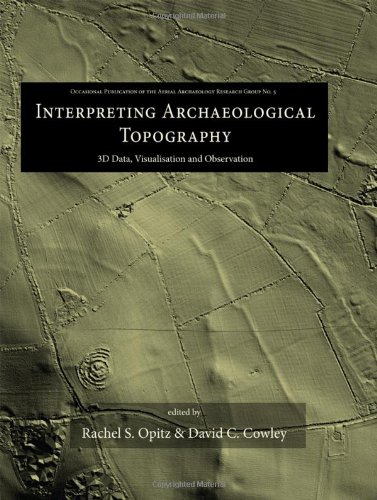
Interpreting Archaeological Topography: 3D Data, Visualisation and Observation (Occasional Publication of the Aerial Archaeology Research Gr)
By Unknown Author.
Description
Airborne Laser Scanning (ALS), or lidar, is an enormously important innovation for data collection and interpretation in archaeology. The application of archaeological 3D data deriving from sources including ALS, close-range photogrammetry and terrestrial and photogrammetric scanners has grown exponentially over the last decade. Such data present numerous possibilities and challenges, from ensuring that applications remain archaeologically relevant, to developing practices that integrate the manipulation and interrogation of complex digital datasets with the skills of archaeological observa...
ISBN(s)
1842175165, 9781842175163