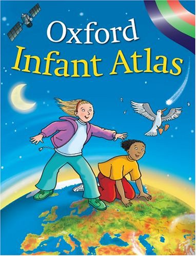
Oxford Essential Atlas
By Patrick Wiegand.

Description
Prepared for those students working within Levels 1, 2, and 3 of the National Curriculum across the year groups, this atlas combines satellite imagery with artwork as an introduction to maps. It includes the place name knowledge required for the early levels of the National Curriculum, and maps of the World, Europe, and the British Isles. - from Amzon
ISBN(s)
0198321678, 9780198321675